|
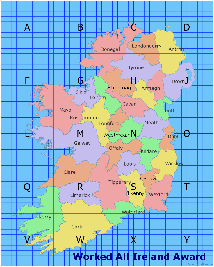
The 46 maps on this page are for the Worked all Ireland Awards, which are available for working EI/GI Grid Squares, Counties and Islands. The awards program is run by the Irish Radio Transmitters Society. See their website for full Award Details, Award Book, and Award Manager contact details.
WAI squares are based on 10km x 10km squares within the Irish grid reference system, and are identified by a letter followed by two numbers, followed by the name of the county, e.g. S71 Wexford. The Irish grid reference system uses a letter to identify 100km x 100km squares, then a number of digits representing the Easting and Northing of the 10km x 10km squares. The WAI square uses the letter, the first Easting digit and the first Northing digit.
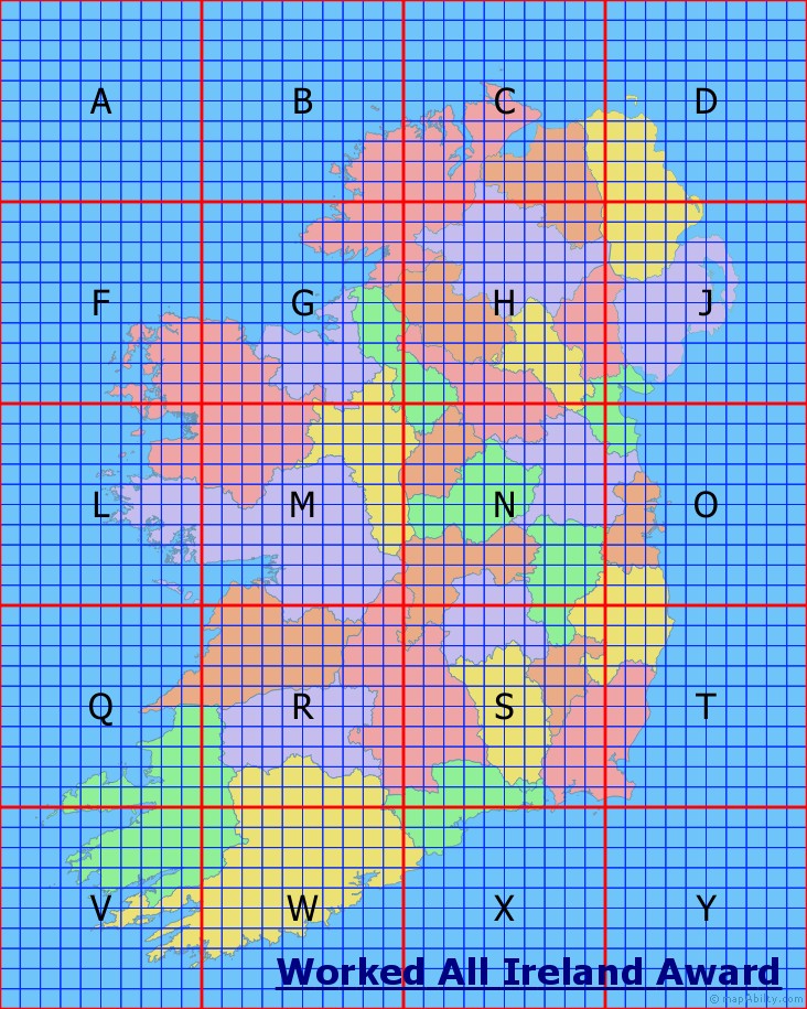
These maps shows all of the 100km x 100km letter-squares. Click on one to open a large map (1467 x 1466 px; 39.6 x 39.6 cm; 15.61 x 15.60 in) of that letter-square (B-X), with their 10km x 10km number-squares, in a new browser window.
Full-Sized JPG Map with Towns, County Names (5131 x 6742 px; 138.6 x 182.2 cm; 54.59 x 71.72 in; 3.870 MB)
Large PNG Map with Towns, County Names (2641 x 3374 px; 71.4 x 91.2 cm; 28.10 x 35.89 in; 4.009 MB)
Large JPG Map with Towns, County Names (2641 x 3374 px; 71.4 x 91.2 cm; 28.10 x 35.89 in; 1.580 MB)
Large PNG Map with County Names (2645 x 3377 px; 71.5 x 91.3 cm; 28.14 x 35.93 in; 3.733 MB)
Large JPG Map with County Names (2645 x 3377 px; 71.5 x 91.3 cm; 28.14 x 35.93 in; 1.499 MB)
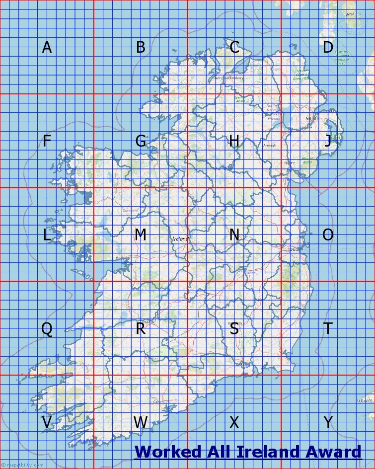
Large OSM-style Map with County Names (3244 x 4055 px; 88.6 x 110.7 cm; 34.88 x 43.60 in; 3.99 MB)
Very Large OSM-style Map with County Names (6488 x 8110 px; 177.2 x 221.5 cm; 69.76 x 87.20 in; 9.41 MB)
You are welcome to use these maps on your own NON-COMMERCIAL website, if you include a link to this site, and DO NOT edit them in any way.
How much did you spend on your rigs and antennas? Buying me a coffee isn't much in comparison, is it?!
|