|
Here are some screenshots of the County-Hunting Mapper in action. Click any image to show that full sized image in a new browser-tab.
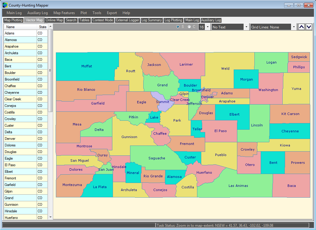
Here is a vector-drawn map of the counties in the isolated state of Colorado. Each country has it's name added. You can change the text-size and type very easily, or pan and zoom with a single click. The table on the left lists all of the counties. More information is available in the 'Tables' tab. |
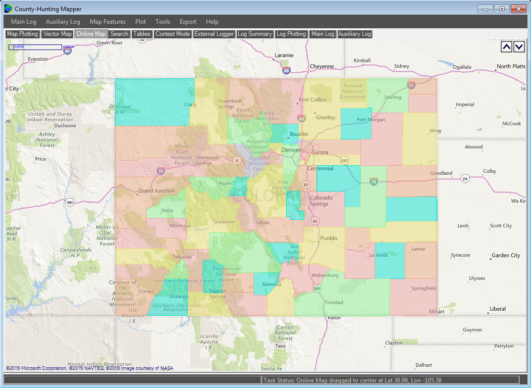
Here is a view of the counties of Colorado overlaid onto a Bing online-map. You can change the overlay transparency, and export to share online. |
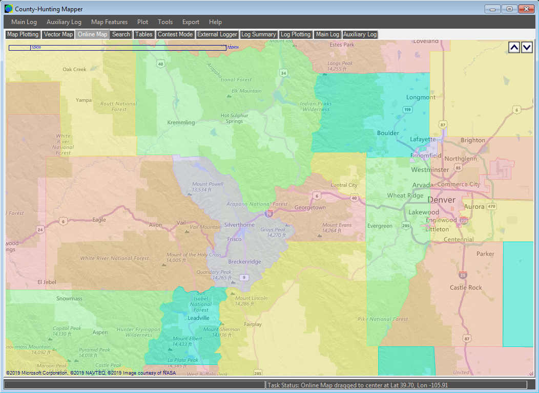
Zooming in to the Online map lets us compare the county-boundaries with the underlying map information. Bing maps are used here, but you can choose from a range of online map-providers. GPX files can be included. |
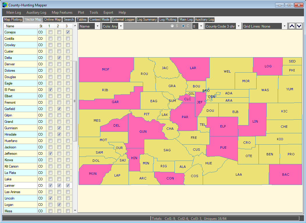
You can create hand-filled maps for any state or region in 'Contest' mode. Clicking a check-box will fill in the relevant map-region. You can differentiate with up to 6 bands or modes, then display each individually, or as a combined view. All colors can be easily changed. |
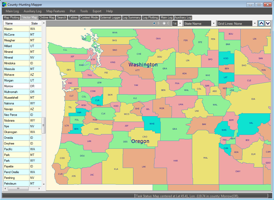
As well as individual isolated states, or counties for one state within a continental map of states or sections, you can also create county maps for a range of useful regions: combined State QSO Parties, ARRL Divisions, Call-Regions, and others. |
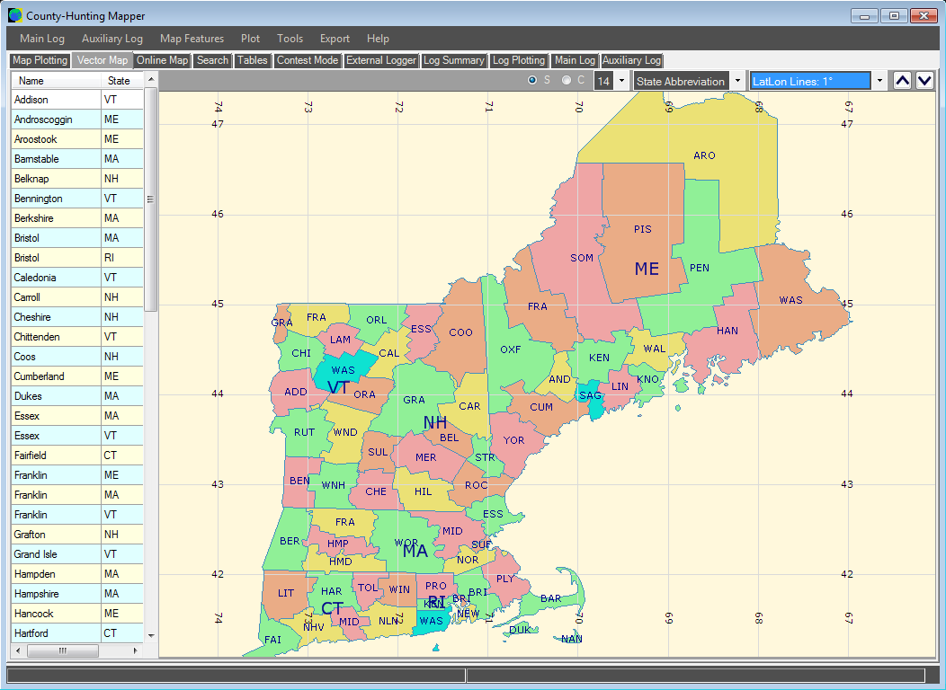
Here is a map of all the counties in the New England QSO Party. They are also listed in the sortable table on the left. You can add separate text for State or County, in a range of types: 3, 4, or 5 character codes, names, abbreviations, areas, FIPS, and others. |
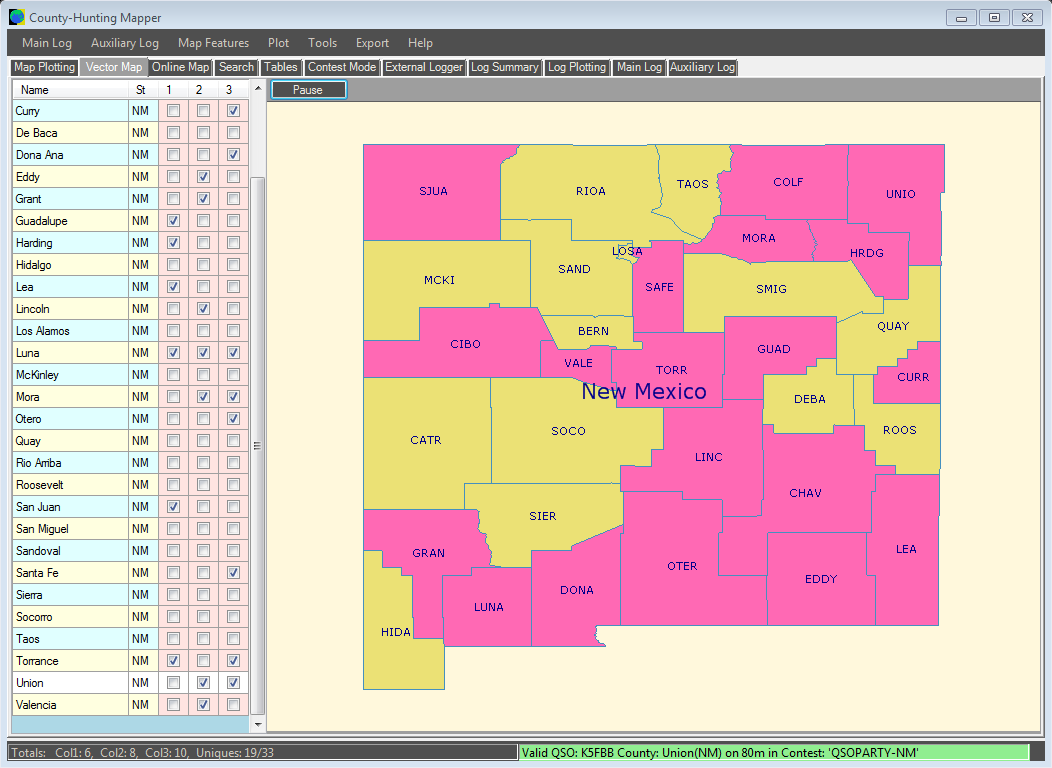
You can also create filled maps that show your contesting results, as they happen. Monitor the output from your N1MM logger, and when a new state is worked, that region will be filled on the map automatically. Choose to display individual bands/modes, or create a composite map that shows all bands or modes together. |
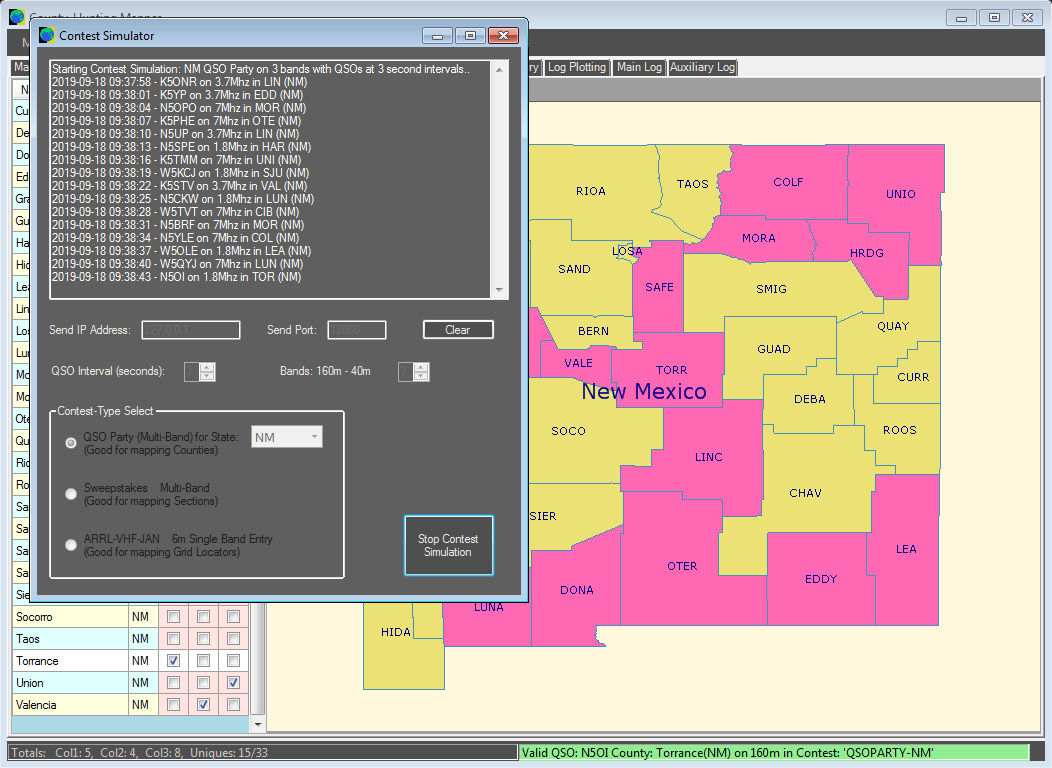
A Contest Simulator is included. This is useful for checking the External Logger Mode, or other programs that receive UDP data. It can generate QSOs for a range of contests, such as State QSO Parties, Sweepstakes, and VHF Grid Locator contests. There is also a UDP Monitor that can be used to watch the output from your logger, to check the data that it is sending. |
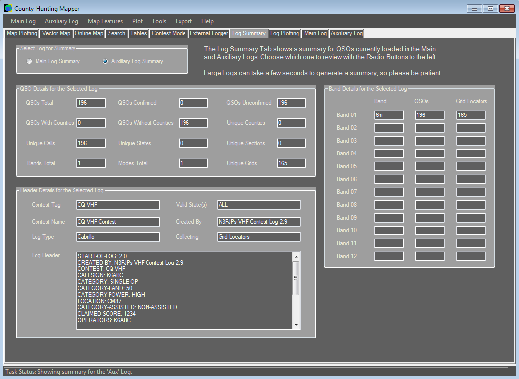
The County-Hunting Mapper can store 2 separate ADIF or Cabrillo logs. Each is parsed for Counties, States, Sections, and Grid Locators. The Log Summary page counts the QSOs and totals for unique values of each entity, and gives totals for each band. Logs can be exported as CSV or ADIF. |
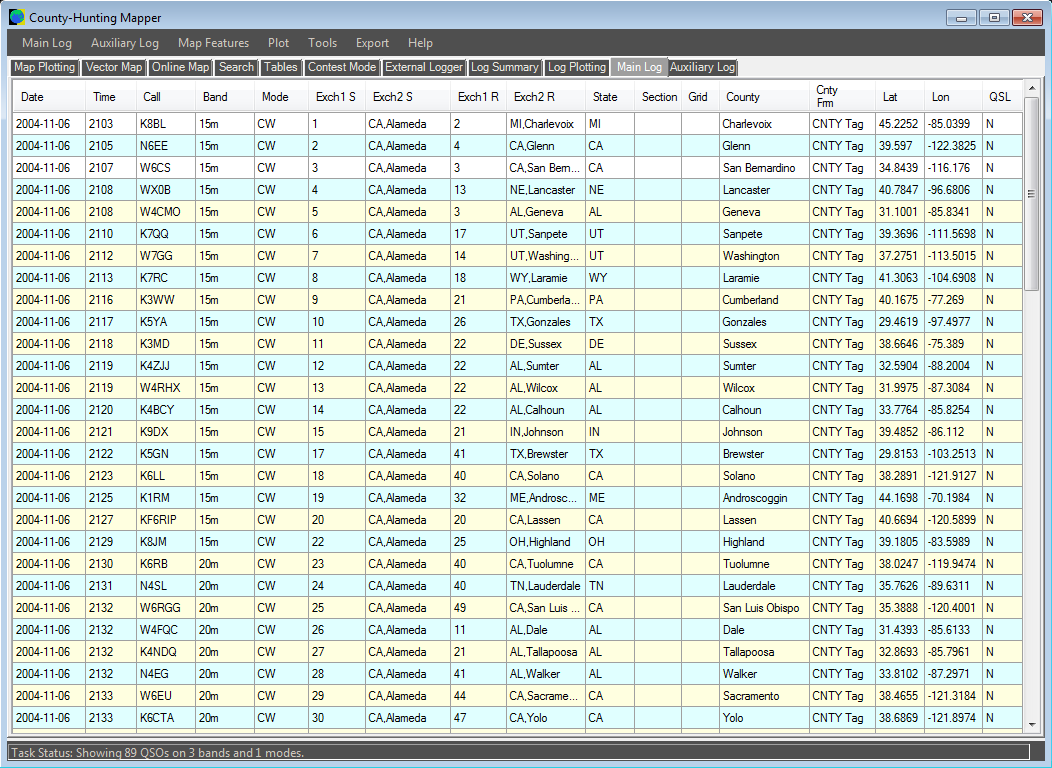
Here is a view of one of the parsed logs. Each county value can be identified from 3, 4, or 5 character codes, or ADIF county-tag values. The CONTEST-type in a Cabrillo log warns the mapper of the range of codes that are valid. |
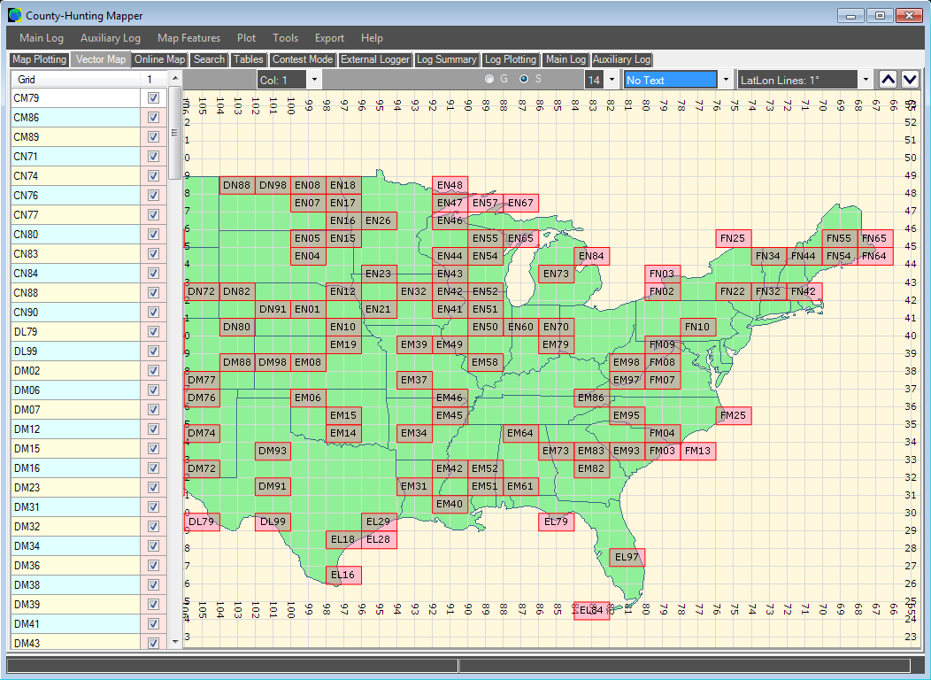
Here is a view of the parsed Grid Locators in a CQ-VHF log. They have been plotted onto a continental state map, and the 4-character codes have been added. In addition, the 1 degree latitude and longitude lines have been turned on. There are a range of lines available: 1, 5, and 10 degrees, in different combinations, or lines for 2 or 4-character grid locators. You can also create maps of the States, Sections, or Counties in your logs, plotted over a background of individual states, sections, joint regions or a continental view. |
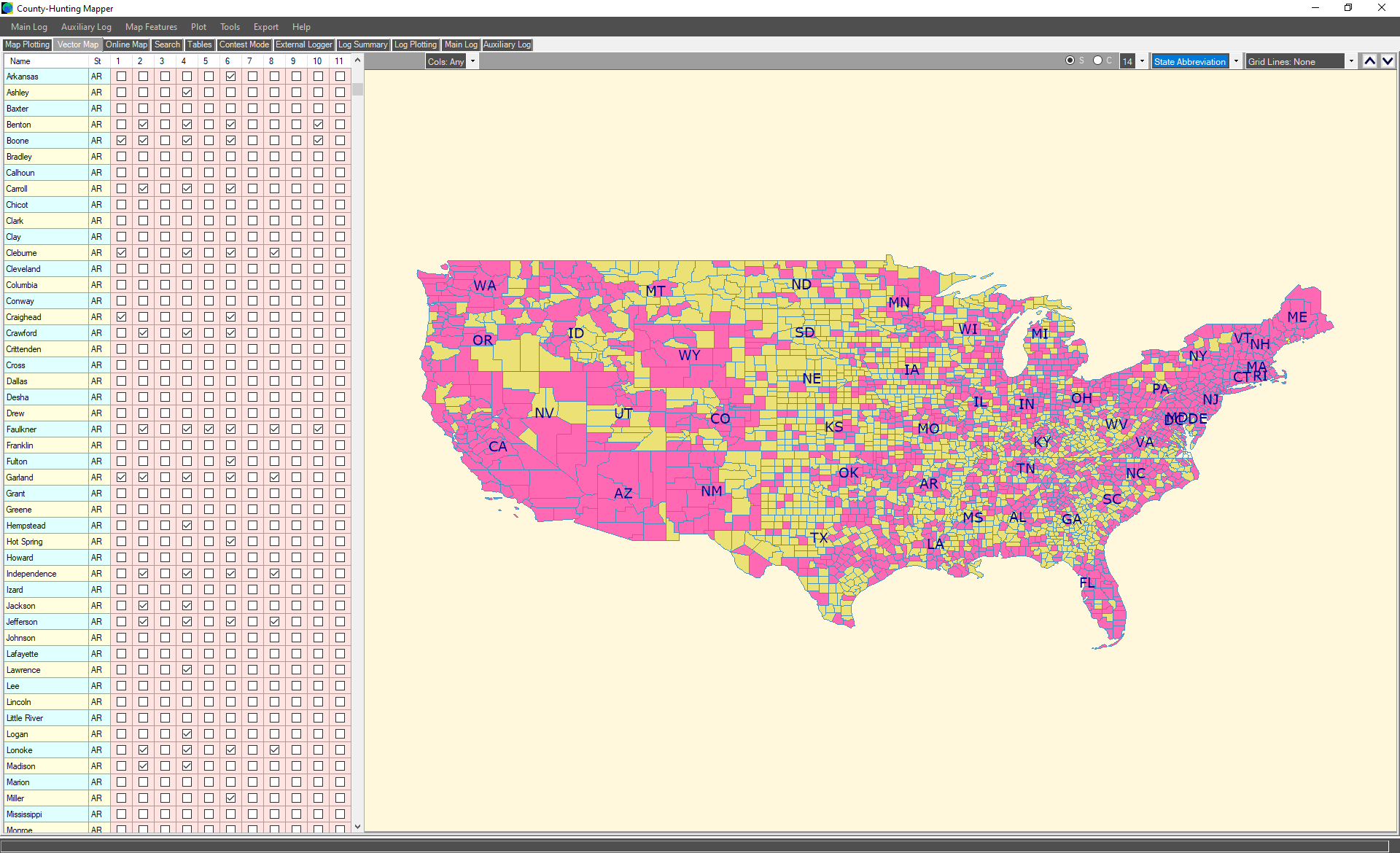
Here is a view of the Counties in a very large log, with 11 Bands and nearly 1600 unique Counties. They have been plotted onto a continental state map, and the State abbreviations have been added. By using the upper-left dropdown-control, we can show the counties for any one band, or for all bands. |
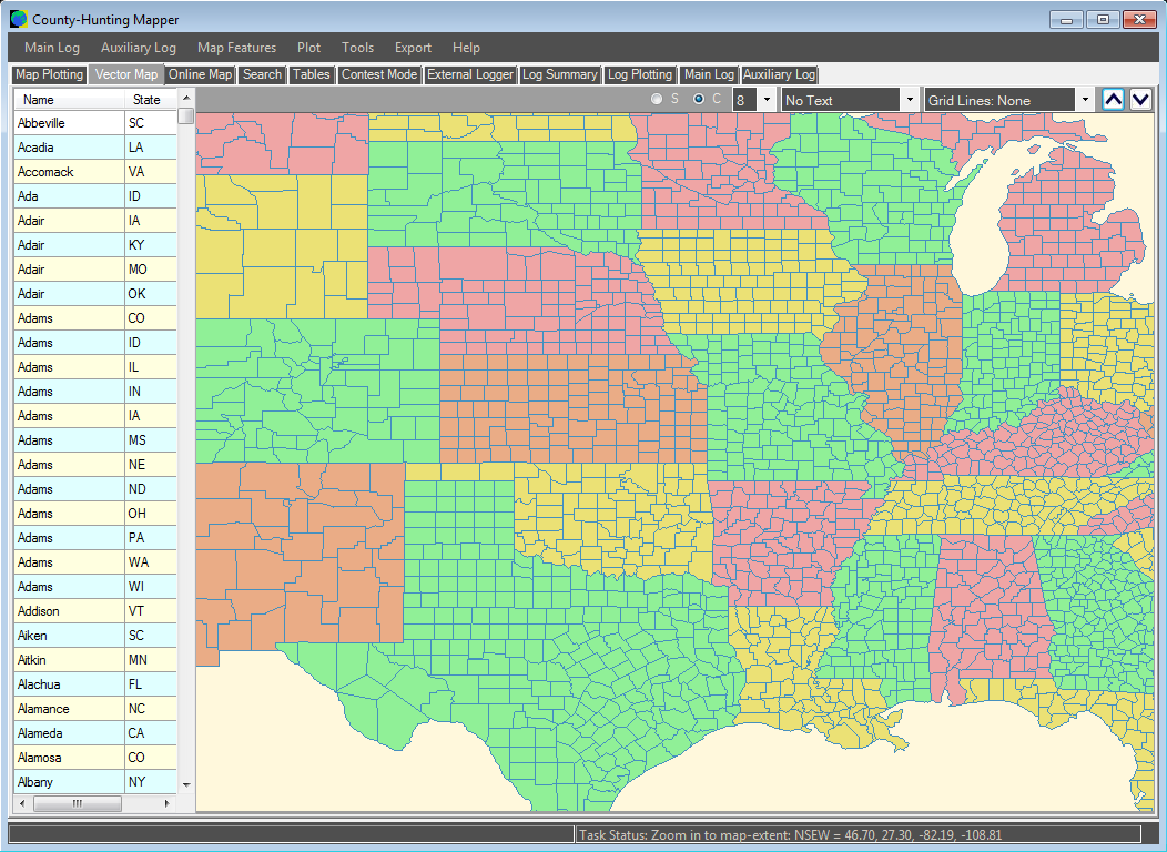
Here is a view of country boundaries superimposed on a continental State map. We can also show maps of Sections, or show State/Section maps with counties added for one selected state or section. |
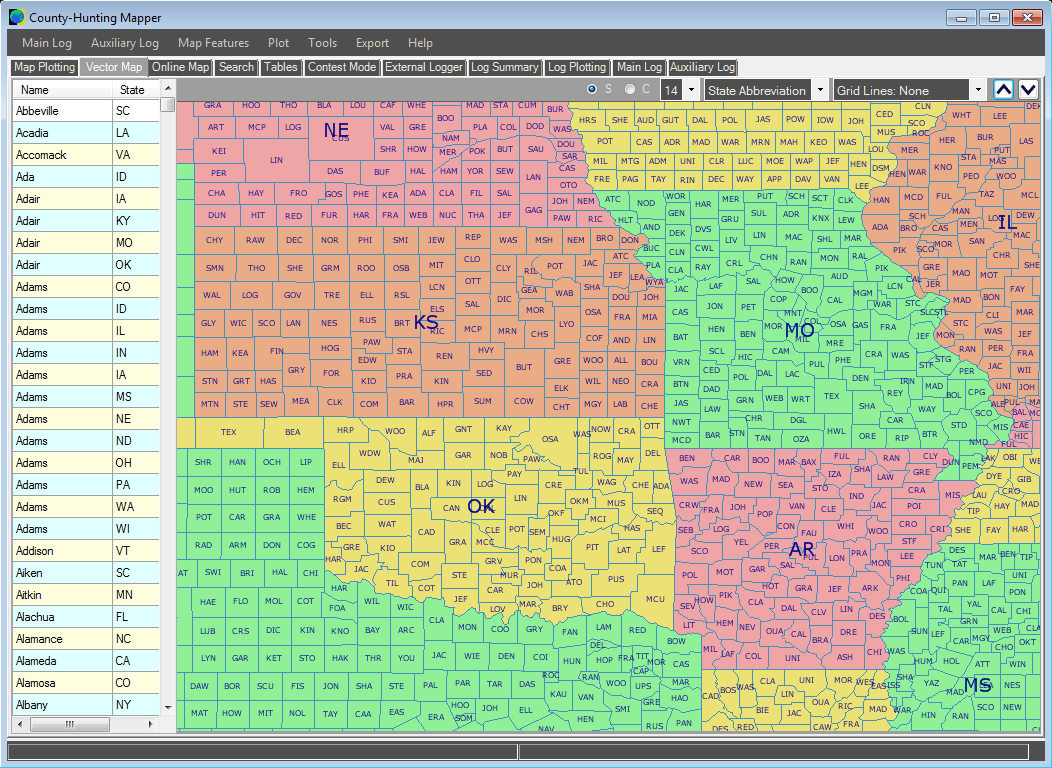
Zooming in to our continental map, we can add separate State and County text for each region, in a variety of different text types, sizes, and fonts. |
|