A Gallery of World Relief-Shaded Maps and their Color Palette Files
Here is my gallery of World Relief-Shaded Maps, with their Color Palette Files, as produced by the 'CPT Designer': a GUI program for creating, designing, editing, configuring, and visualizing .cpt Color Palette files. The data was processed from datasets provided by gmt.soest.hawaii.edu/doc/latest/datasets.html ![]() which in turn was processed from ETOPO data. Click on any map to see the full-sized version (2400 x 1200 pixels) in a new browser-window. All images on this page are licensed as CC-By-NC
which in turn was processed from ETOPO data. Click on any map to see the full-sized version (2400 x 1200 pixels) in a new browser-window. All images on this page are licensed as CC-By-NC ![]() .
.
If you would like your own creations to be considered for this page, with the same license, please send your .cpt file to me. If you would like to purchase a similar map of a different size or format, please Contact Me.
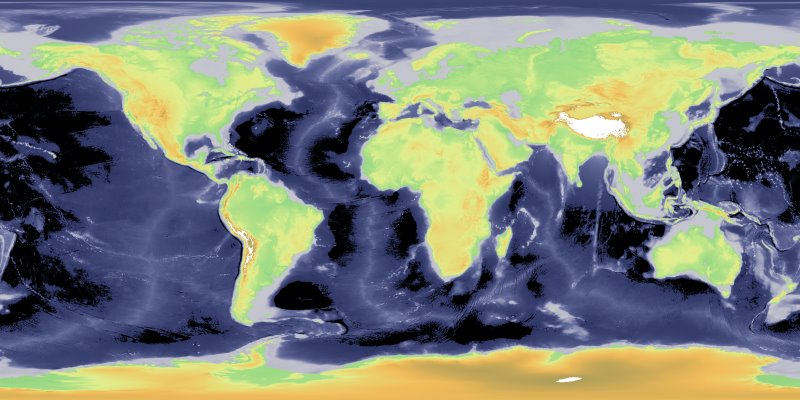 arendal-arctic CPT File for this Map |
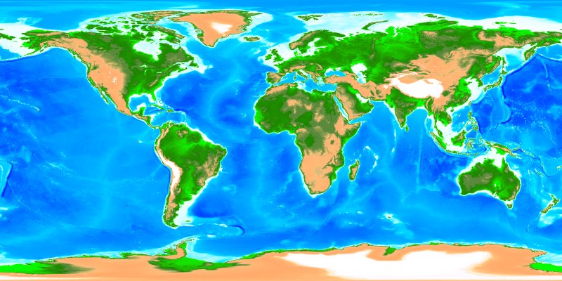 em-nz_blue CPT File for this Map |
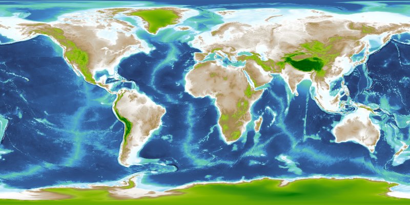 gmt_bathy-grass_evi CPT File for this Map |
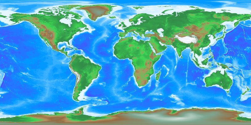 gmt_gomglobe CPT File for this Map |
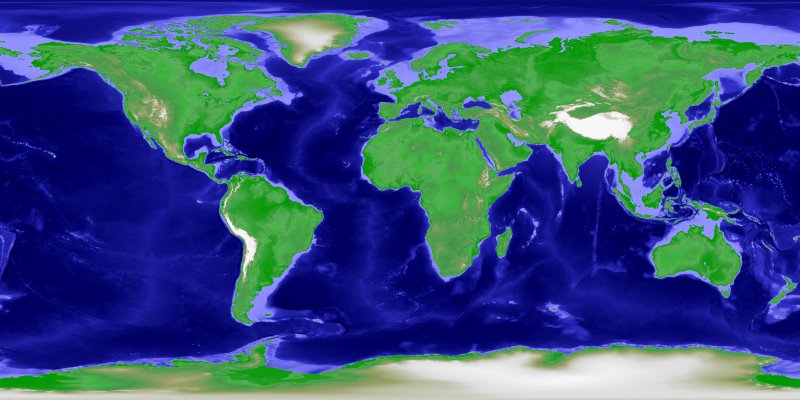 grass-etopo2 CPT File for this Map |
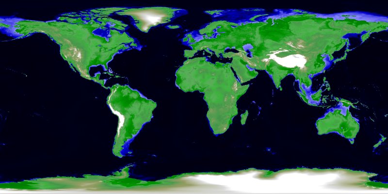 grass-terrain CPT File for this Map |
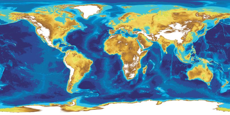 ibcao CPT File for this Map |
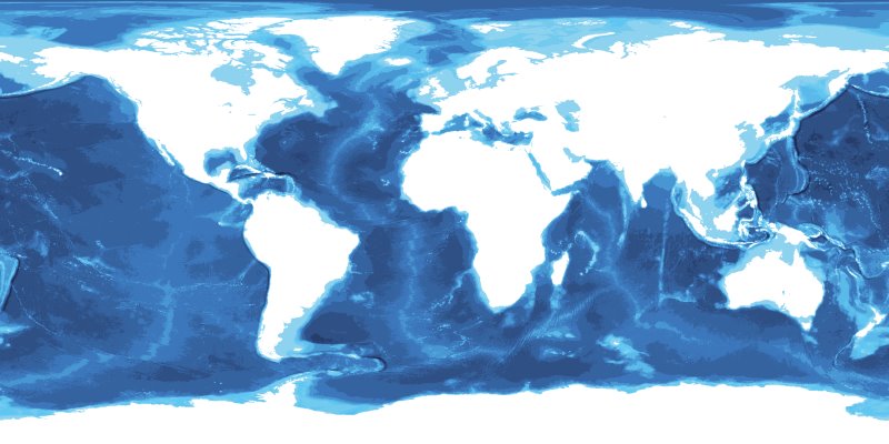 ibcso CPT File for this Map |
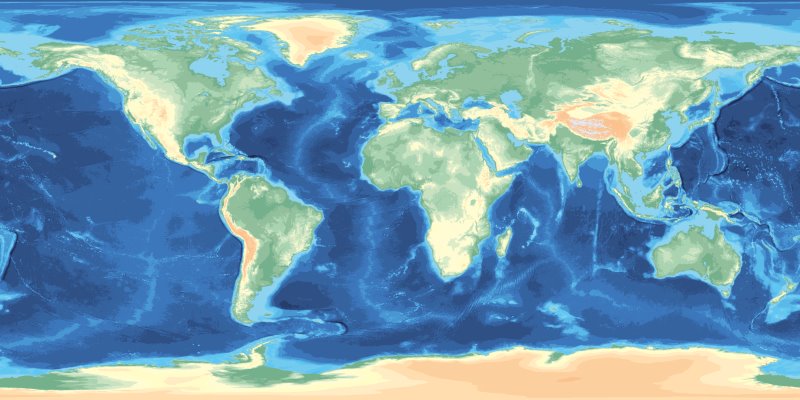 jjg-c3t3-ibcso CPT File for this Map |
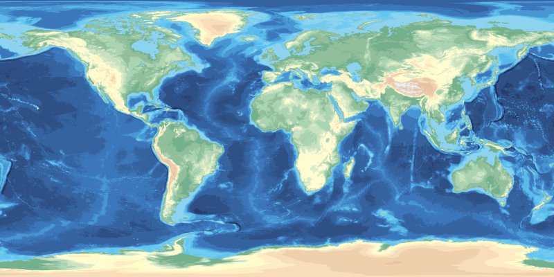 jjg-c3t3-ibcso_v2 CPT File for this Map |
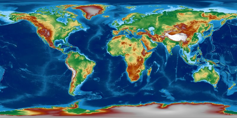 mby CPT File for this Map |
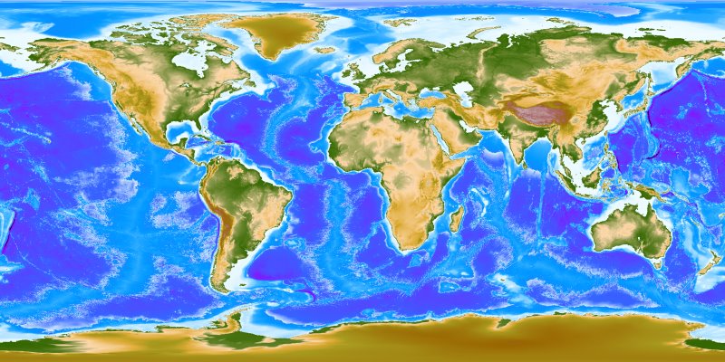 myglobe2 CPT File for this Map |
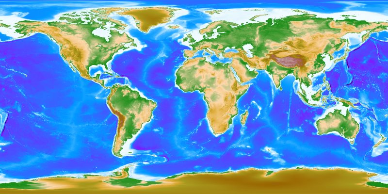 myglobe3 CPT File for this Map |
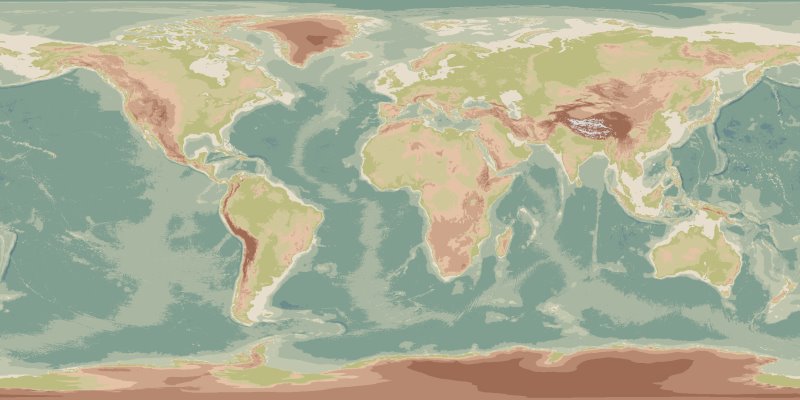 nordisk-1 CPT File for this Map |
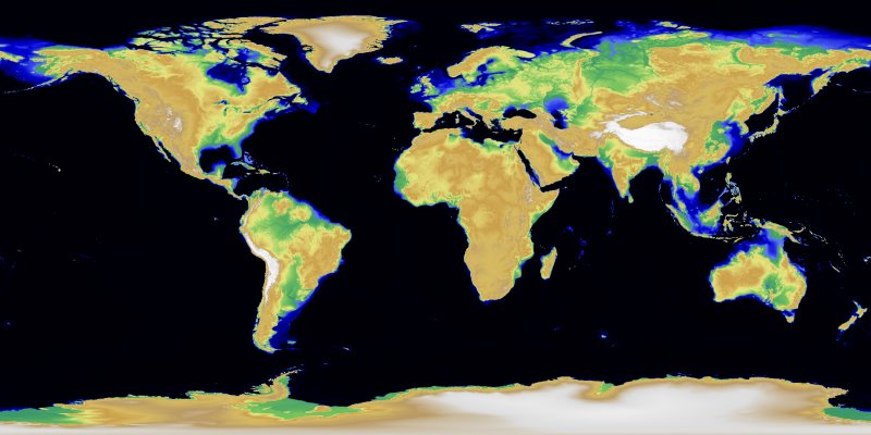 srtm CPT File for this Map |
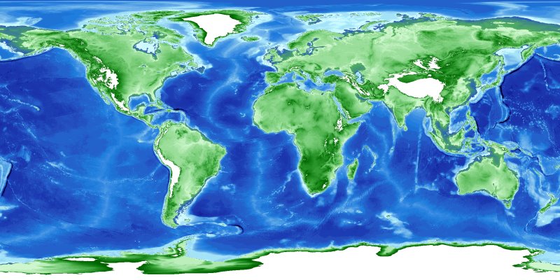 tm-bluegreen CPT File for this Map |
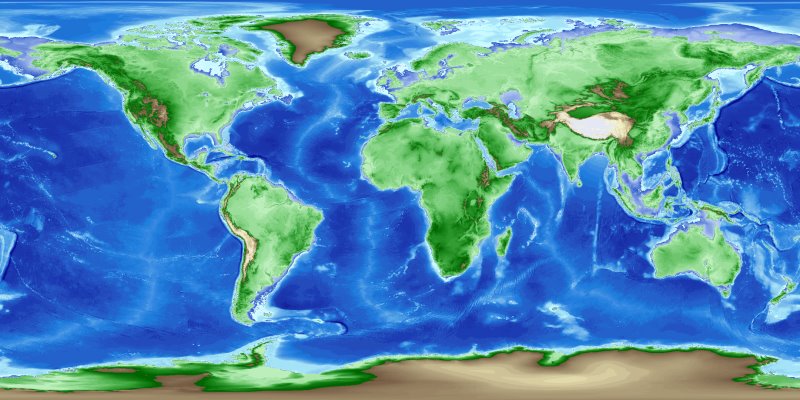 tm-bluegreenochre CPT File for this Map |
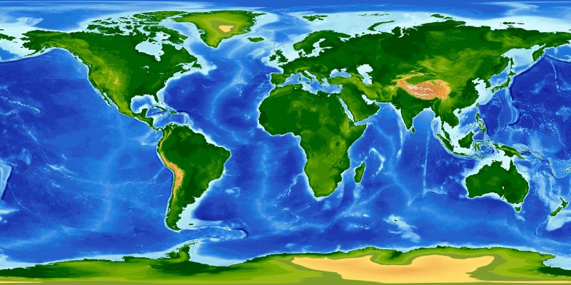 tm-world1 CPT File for this Map |
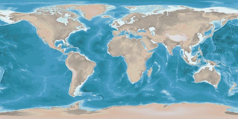 tp-sfhm-glam CPT File for this Map |
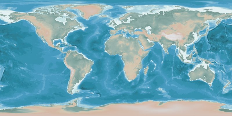 tp-sfhm-glhcm CPT File for this Map |
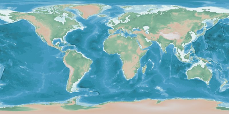 tp-sfhm-glhwm CPT File for this Map |
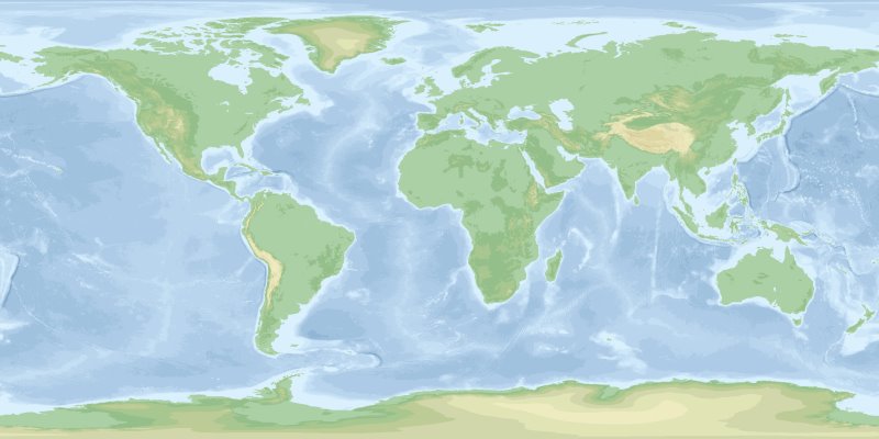 wiki-102 CPT File for this Map |
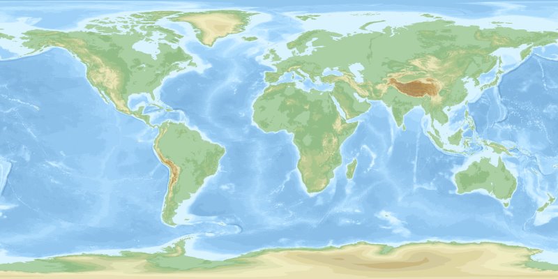 wiki-103 CPT File for this Map |
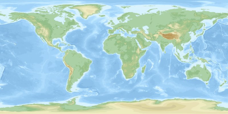 wiki-200 CPT File for this Map |
